|
||||||
|
||||||
|
United Kingdom (England, Scotland)
(1 279km - 29days) 5 May - 7 June 2007 |
||||||


|
5 May – Cape Town to London
After
phoning, around to various SAA offices, the verdict on transporting a
bicycle was that I had to take it as part of my luggage. My
6 May - London I arrived in London at 6h30 all stiff and puffy eyed and got picked up by Eddie (a friend from Tour d’Afrique). As it was still quite early, there was plenty of time to explore the area around Chelmsford were Eddie lived. We took a walk in the woods and tried to find cycling maps in the village, but without any luck. (I thought this would be easy).
7 May – Chelmsford to East Bergholt – 80 km
It was
13h00 by the time we left Chelmsford and took the back road, via Maldon
to Colchester and found a campsite between Colchester and Ipswich. The
weather was
8 May - East Bergholt to Aldeburgh – 64 km We left camp at around 9h30 and headed for Ipswich and Woodbridge where we found a cycling map of the area. It was, however, more confusing than ever, as it showed the tiny back roads and one was never sure if you were on the right track. Half the day was spent studying the map. In the end, we went around in circles and did not get very far at all. We had to make another plan; it was just too frustrating.
The scenery was sublime, and it was hard to cycle past a village without stopping and exploring. The weather was slightly better than the previous day, and although it rained during the night, we had no rain during the day. It was, however, icy cold. In the end, we headed for Leiston where a campsite was indicated on the map, but on arrival, found that it catered only for caravans, not tents. I must add that it was a rather large site with not a soul in sight (but rules are rules, oh give me a break). In the end, we found a private campsite on a farm for £3 each. No shower, however.
9 May – Aldeburgh to Corton – 56 km
The campsites varied considerably from camp to camp; some were well equipped with manicured lawns, toilets and showers, others just had a toilet and no other facilities; you generally got what you paid for.
10
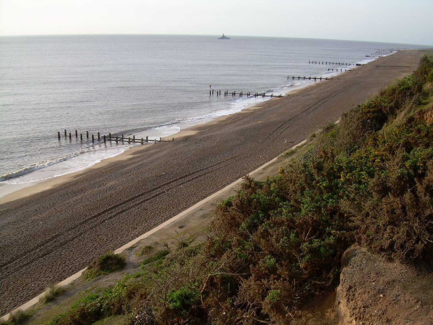
May – Corton to Cromer – 96.5 km The days were long, and with daylight until 21h30 in the evening, it was quite fantastic not to have to worry about what time you will get to camp. We cycled past Great Yarmouth where I found an internet cafe (at last), had a plate of chips in the town square again after which we carried on cycling all along the coast, which is, sadly, eroding away fast. we found a campsite at £16, which is considered very expensive in these parts, and to cap it all; the showers are miles from where we camped!
It started drizzling again, but thankfully not before I had my cup of soup and a bread roll. It rained all night!
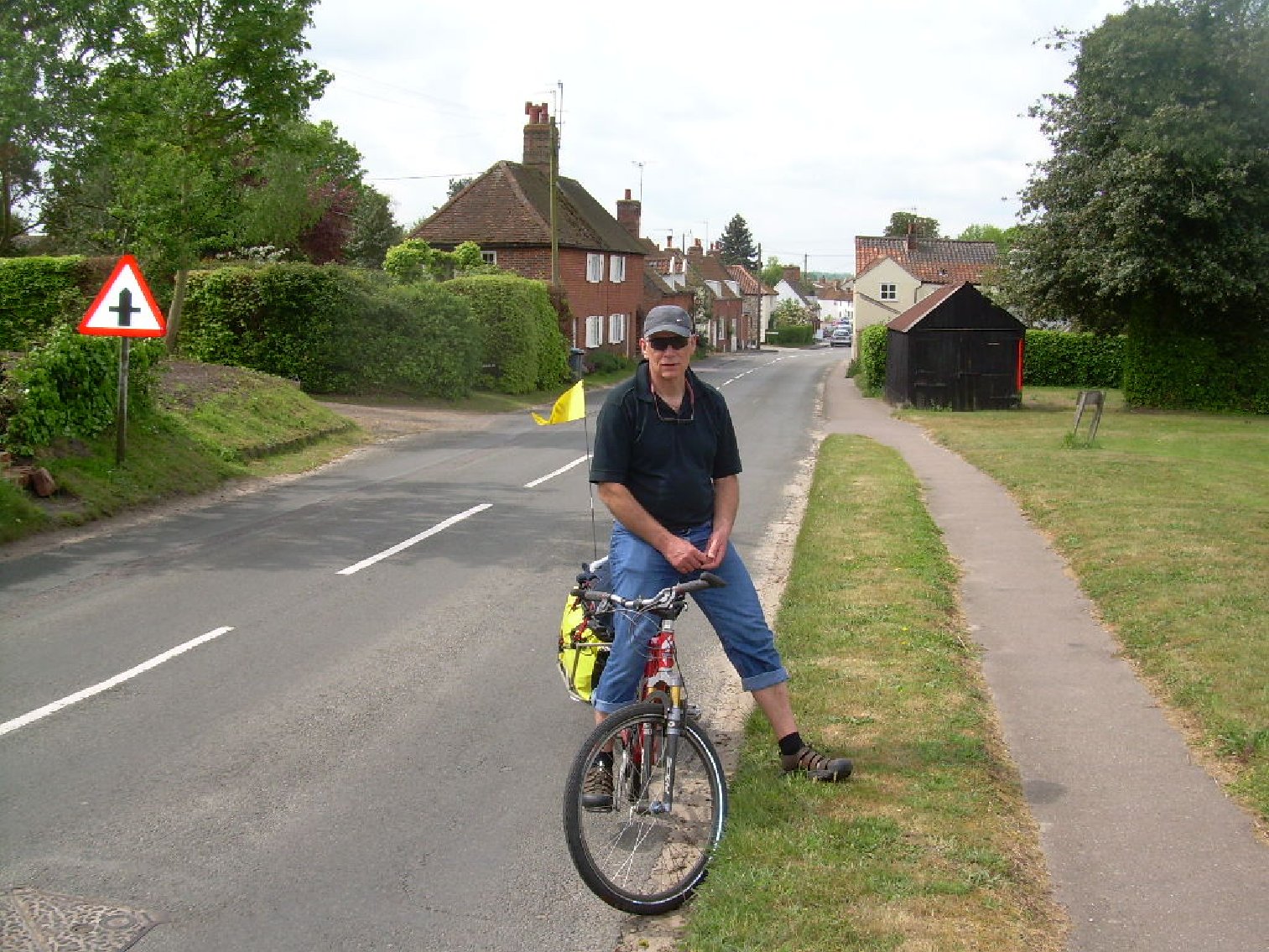
The big difference between cycling in the UK and cycling in Africa was that in Africa you were an enigma; children come running across the fields to stare or beg, people were curious and would ask where you are from and where you are going and they could believe you were doing this for FUN. In the UK, you are just another tourist on a bicycle with an iPod stuck in your ear.
11 May – Cromer to Sandringham – 80 km
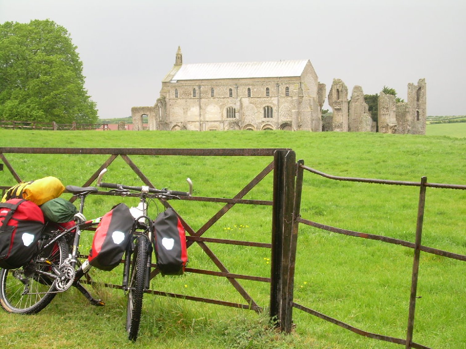
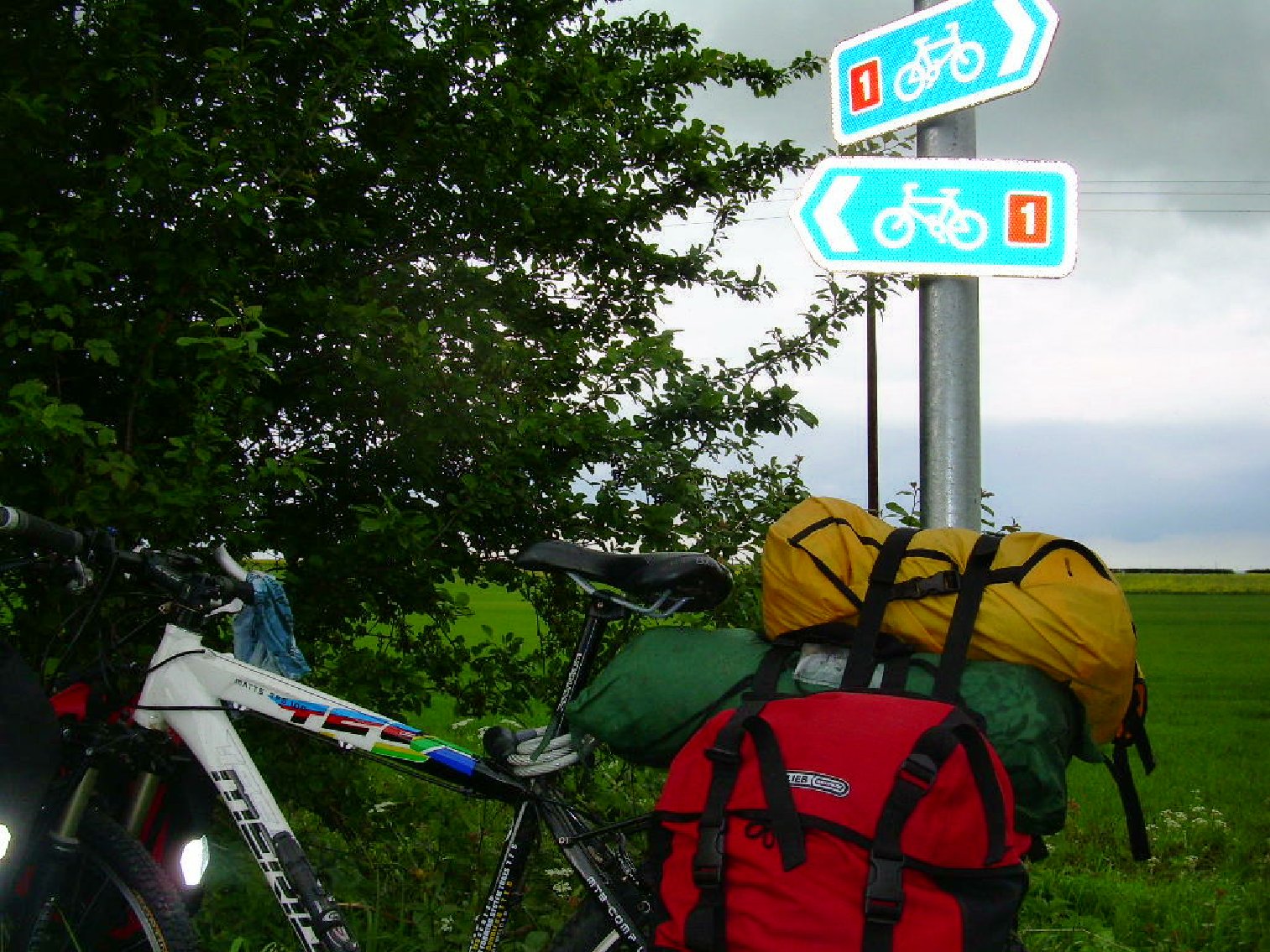
At last, I found a Sustrans map (Route 1 Harwich to Hull), and what good maps they were. It was another day of magnificent estates, ancient castles and churches all equally impressive and dating back many hundreds of years. It helps to have a keen interest in castles and churches in this part of the world.
The route was well marked, and I had an excellent day of riding, even though I had difficulty with the gears on my bicycle that kept on slipping.
12
May – Sandringham to St John’s Fed End – 48 km Sandringham had such a well-equipped campsite, with laundry facilities and a shop, that I ended up leaving later than usual as I first made use of the laundry facilities.
I cycled into King's Lynn, a large town with all the necessary shops, and took the bike in to have the gears seen to, I also bought a bike computer and a mobile phone. All in all, I spent a lot of money! I thought of staying in the youth hostel, but it was closed, and I hit the road again. It was quite late when I left, but thankfully it did not get dark until 21h30, and there was plenty time to cycle the short distance to St Johns Fed End where I found a lovely campsite with a bar and restaurant.
13 May - St Johns Fed End to Boston – 56 km
I was
surprised at how many
What I found intriguing was that most people I come across along the way appeared not to notice me. However, in Eddie’s search for me, they could tell him to the minute when I arrived and when I left!
Soon after Eddie left, the heavens opened up again and rain bucketed down, in Boston, I succumbed to the temptation and booked into a hotel at a considerable fee − surprising what a person will do when you are wet and cold.
14 May – Boston to Woodhall Spa - 40.2km
I
reluctantly left my warm hotel room, but at that price, I could not stay
anothe
While riding to Woodhall, my bike’s rear rack came loose, and the tent, sleeping bag and panniers all went flying. How embarrassing. Fortunately, this all happened opposite a boat shop, and the friendly man in the store tightened the screws again (I should have brought few tools). All in all, it was a good day of flat riding across the Fens and along a river with plenty of boathouses. The boathouses looked incredibly inviting, and I would not mind living on one.
One thing I discovered was that one could not look out your window or tent in the morning and predict what kind of day it will be. The weather changed every half hour; one minute I was sitting in the sun reading my book, and the next minute it will come bucketing down.
15 May - Woodhall Spa to Humber Bridge – 120.7 km
With my new bike computer, I could at least tell the daily distance. What a good day of cycling, I did not see a campsite along the way and carried on to Humber Bridge. It was also the first day that I encountered a few hills − lovely natural green rolling hills.
Somewhere I took a wrong turn, and a charming man came driving along to point out that I was heading in the wrong direction. It proved to me that the British did notice one, despite the fact they predend they don't. It was also the first day that I met other cyclists at the campsite.
16
May - Humber Bridge to Hornsea – 48.2 km What an impressive bridge! I cycled across the bridge and looking down gave me vertigo. Had a coffee and muffin at the bridge and then carried on to Hull. It was a frustrating day as I reached the end of the cycling map I picked up a few days ago and needed to find a new one. Finding a good cycling map is far more complicated than I ever imagined. Eventually, I left for Hornsea, where there was not much to see or do, but I found a campsite just outside of Hornsea and was stuck in the tent for the rest of the day as it was raining again.
I was starting to feel somewhat frustrated with all the rain.
17 May- Beverley to Malton – 112.6 km
As
frustrating as previous day was,
18 May Malton – Boroughbridge - 72,42km I only left Malton at midday as, at last, I found an internet café. I could not believe that the cash machine retained my card again and what a drama to get it back!
19 May - Borough Bridge – Leyburn – 56.32 km This was the hardest day since arriving in England; I was cycling into a ferocious wind, leaving me to peddle downhill in my small gear. This was utterly miserable, and at the first sign of a campsite, I called it a day and instead did my laundry.
20
May - Leyburn to Middleton-in-Teesdale – 72.42 km What a lovely part of the country this was, there was no sign of wind, and the sun even came out. I cycled past Richmond with its magnificent castle, where I stopped an looked around. Next up was Bernard’s Castle and from there on to Teesdale where I found a campsite with very friendly caretakers, he even brought me coffee while I was pitching the tent.
21 May Middleton-in-Teesdale – Chollerford - 65.98 km At last, I have reached Hadrian’s Wall. What a tough day it was. It was again very hilly with up to 20% gradients, but a beautiful sunny day, I think the first sunny day I had since I started. I plodded along and pushed the bike up the hills. The route seemed to climb out of the villages just to drop down into another one. A local cyclist directed me to a campsite, where I found various hikers, all walking the Hadrian’s Wall Route. A popular hiking trail.
22 May Chollerford – Bellingham – 40.23 km
To my utmost surprise, Eddie tracked me down again. He came up in his car all the way from Chelmsford. What a nice surprise.
23 May Bellingham – North Berwick BY CAR Eddie had limited time, and we loaded the bicycle into the car and off we drove in luxury, what a pleasure. We passed numerous castles and popped into a few, all equally magnificent. We finally crossed into Scotland and what a magnificent coastline it is. We finally called it a day at North Berwick where we booked into a B & B.
24/25 May North Berwick – Glasgow BY CAR We left the lovely town of North Berwick and drove all the way to Glasgow, to Esther’s place where Eddie dropped me and drove all the way back to Chelmsford. It was great to see Esther again. She was still as mad as a hatter, and needless to say, she still talked nonstop. We went out to the local pub and had a good few beers and a bite to eat.
We chatted until late in the night and somewhere in the early hours of the morning, and after a good few glass of wine decided to walk the West Highland Way. With Esther having 3 of everything, it was easy to borrow a backpack and all the necessary hiking gear.
26 May - Glasglow The next day we packed our bags with tents, sleeping bags, food, stove, pots and odds ready for the long walk.
The
West Highland Way is a 95 miles (153.8 km) hike. It was Scotland’s
first long-
Here follows an account of our little adventure.
27 May - Milngavie to Drymen - 12 Miles (19 km) Off we went on the West Highland Way. Caught the train at 09.20 to Milngavie, which was just a short distance from where Esther lived (about four stops). Half the train got off at Milngavie, all doing the West Highland Way. I did not expect to see so many people on the hike; I also did not expect to see them only carrying small day packs! Most people, we discovered, made use of “Travel-lite” to transport their heavy backpacks. Not us though, we carried the whole kit and caboodle!
The 12-mile walk from Milngavie to Drymen was well marked and the route relatively easy and flat. The first section of the way we walked through beautiful deciduous woodlands with lots of streams. The route past through many villages and about halfway we popped in for the obligatory lunch and beer.
That night we camped on a farm about 1 mile (1.6 km) before Drymen, the farm offered a cooking shelter which came in handy as it started raining just as we arrived.
28 May - Drymen to Rowardennan 14 miles (22.5 km)
On arrival at Rowardennan, we found only a hotel, youth hostel and wild camping. Esther suggested the Youth Hostel, which was a good idea is it was comfortable and warm.
29 May - Rowardennan to Invernarnan - 14 miles (22.5 km)
Esther
struggled to get her backpack on (anyone who knows her, will know that
Esther carries the whole world and the kitchen sink in there). The man
from the You
Once again, the path followed the shores of Loch Lomond and passed through more natural oak woodlands. The area here is much associated with Rob Roy MacGregor, there are many stories about Rob Roy, and I am not entirely sure that they are all true.
We camped at Beinglas Farm which also had a great bar/restaurant. That evening we took a walk across the river to a bar which is apparently more than 300 years old, and what a great atmosphere it had. We had an excellent night of singing (and drinking red wine) with the other walkers, to such an extent that I left my wallet in the pub. Disaster strikes again!
30 May - Inverarnan to Tyndrum - 13 miles (20.9 km)
By now the dreaded Highland midges were out (smaller than a muggie but more ferocious than a mosquito). Also known as “The Wee Bastards”. These biting insects were everywhere, Esther walked in short sleeves and was covered in lumps and bumps, they get in your hair, ears even up your nose.
At Tyndrum, we camped at “By the Way” and took a short walk into the village, well known for its Green Wellies Shop”. It is a place where one can find almost everything, from hiking gear to food. Esther and I picked up two small backpacks, as walking with a plastic bag was not all that becoming.
31
May - Tyndrum – Kingshouse - 20 Miles (32.1 km) Ronnie, a local guy, told us to take the longer route as the shorter one was apparently very hilly, and you never argue with a local.
On descending into Kingshouse, one can see the magnificent mountains of Glen Coe and Glen Etive where I am sure there must be excellent skiing in winter and even more fantastic rock climbing. We camped at Kingshouse which only offered wild camping with no facilities, and we hung out our time in the pub until bedtime.
1 June - Kingshouse – Kinlochleven - 8 Miles (12.6 km) This was an area with some of the most impressive peaks in Scotland, and I secretly wished I was a rock climber. We walked over what is known as the Devil’s Staircase, reaching the highest part of the walk, it was also the first day the sun came out, and the views were truly magnificent.
2 June - Kinlochleven – Fort William - 13 Miles (20.9 km)
On arrival at Fort William we did not, unlike most others, go straight to the campsite, but first wandered about town in search of a pizza and beer.
3 June - Ben Nevis - 12 Miles (19.3 km) We put off getting up until about 09h30 as it was raining and very, very wet outside, but how long can one be cooped up in a small tent? In the end, there is nothing more to do than put on the wet weather gear and head up Ben Nevis, the British Isles highest mountain at 1 345 metres. The starting point is at The Visitors Centre which was conspicuously quiet, and we did not see many hikers along the route as the mist was heavy, and the constant drizzle made it somewhat unpleasant.
The path up the mountain is a gentle climb and not very steep. I was surprised at how quickly the landscape changed from green rolling grass to a very rocky landscape. I could not believe my eyes when we reached the top and found a large snowfield!! How impressive, have never seen a snowfield before and we played silly games in the snow before head back
The walk up and back took about 7 hours, needless to say; we went straight to the pub for more beer and food. Mission accomplished!
Fortunately, this was not the end of our escapades; in fact, the fun had just begun. Once home we planned on cycling Ireland as Esther still had a few days leave due to her. Esther hauled out her old bicycle which we took to the bicycle shop to fit racks for panniers.
6
-7 June Glasgow, Scotland – Belfast Ireland – By ferry To get to Ireland, we had to cycle from Esther’s house to Glasgow Central station where we boarded a train to Stranraer. This was where the fun began and Esther, not used to the bicycle and panniers, proceeded to fall over, not once, but three times between the house and the station! Every time I looked around Esther was laying on the ground, bike on top of her, very much resembling a beetle, legs kicking in the air. All this happened in peak hour traffic, but Esther was undeterred by the staring eyes and would get up, dust herself off, look them in the eye and laughingly declare “Take three!” |